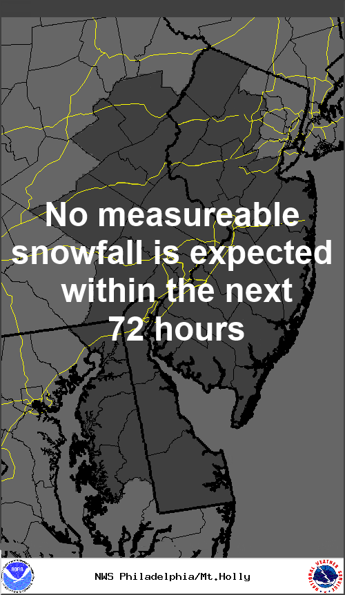
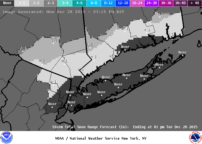
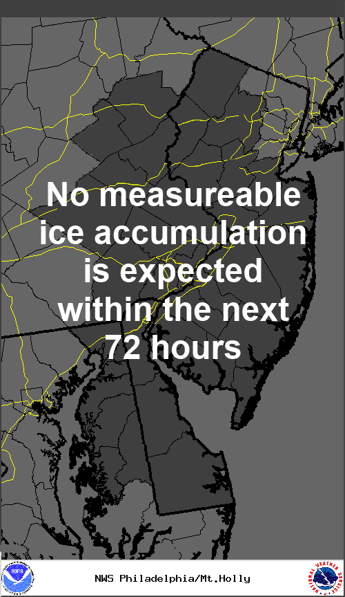
Models are trending colder and wetter and this may turn this event from a minor to a more moderate event. Current Mt Holly snow maps show 1-3 across most of Central Jersey with an inch or less toward the shore. Snow is expected to develop later in the afternoon Sunday and continue overnight. Models have been disagreeing with temperatures...will we go to freezing rain or just plain rain after an inch or two. With such model disagreement there really isn't a consensus yet. Start at the 1-3 call and we will move from there and wait and see how todays models turn out. This could end up similar to last Saturdays snow to ice event although there would be a shift north with the heaviest amounts compared to that storm. Stay tuned
This post was edited on 2/28 9:19 AM by bac2therac
This post was edited on 2/28 11:41 PM by bac2therac
This post was edited on 3/2 11:22 AM by bac2therac
This post was edited on 3/3 4:02 PM by bac2therac
This post was edited on 3/4 11:57 AM by bac2therac
This post was edited on 3/4 4:24 PM by bac2therac
This post was edited on 3/4 8:51 PM by bac2therac


