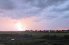
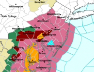
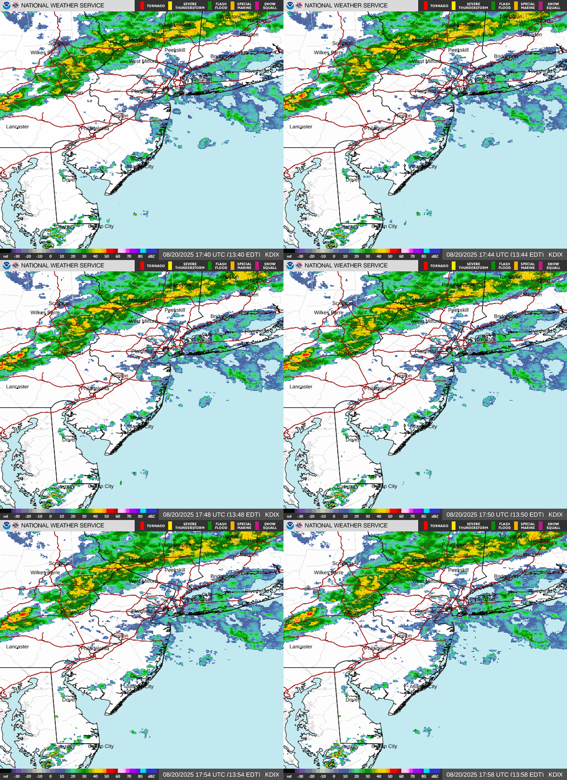
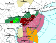
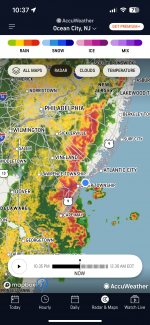
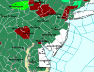
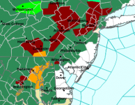
Heads up folks - tornado warnings currently in EPA, heading towards Mercer and Hunterdon Counties and maybe further than that with severe t-storm watches up for the whole Philly-NJ-NYC region, which could bring high winds, lightning and heavy downpours in some locations (as always impossible to predict where mesoscale events like these will occur). Could see a repeat tomorrow afternoon, as the atmosphere is tropical with very high precipitable water amounts in the column due to heat and high humidity and we have a forcing mechanism to set off storms (the approaching "cold" front). Stay safe out there folks. Will use this thread and change the title as needed for specific summertime threats, mostly for storms.
https://www.weather.gov/phi
https://www.weather.gov/phi
Last edited:


